geology

Basics:
- Document study (literature research, geological maps, available outcrops and expert reports, etc.).
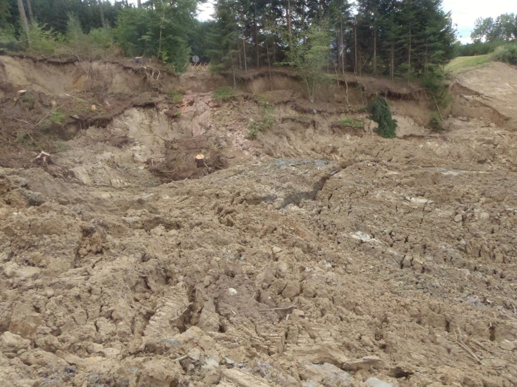
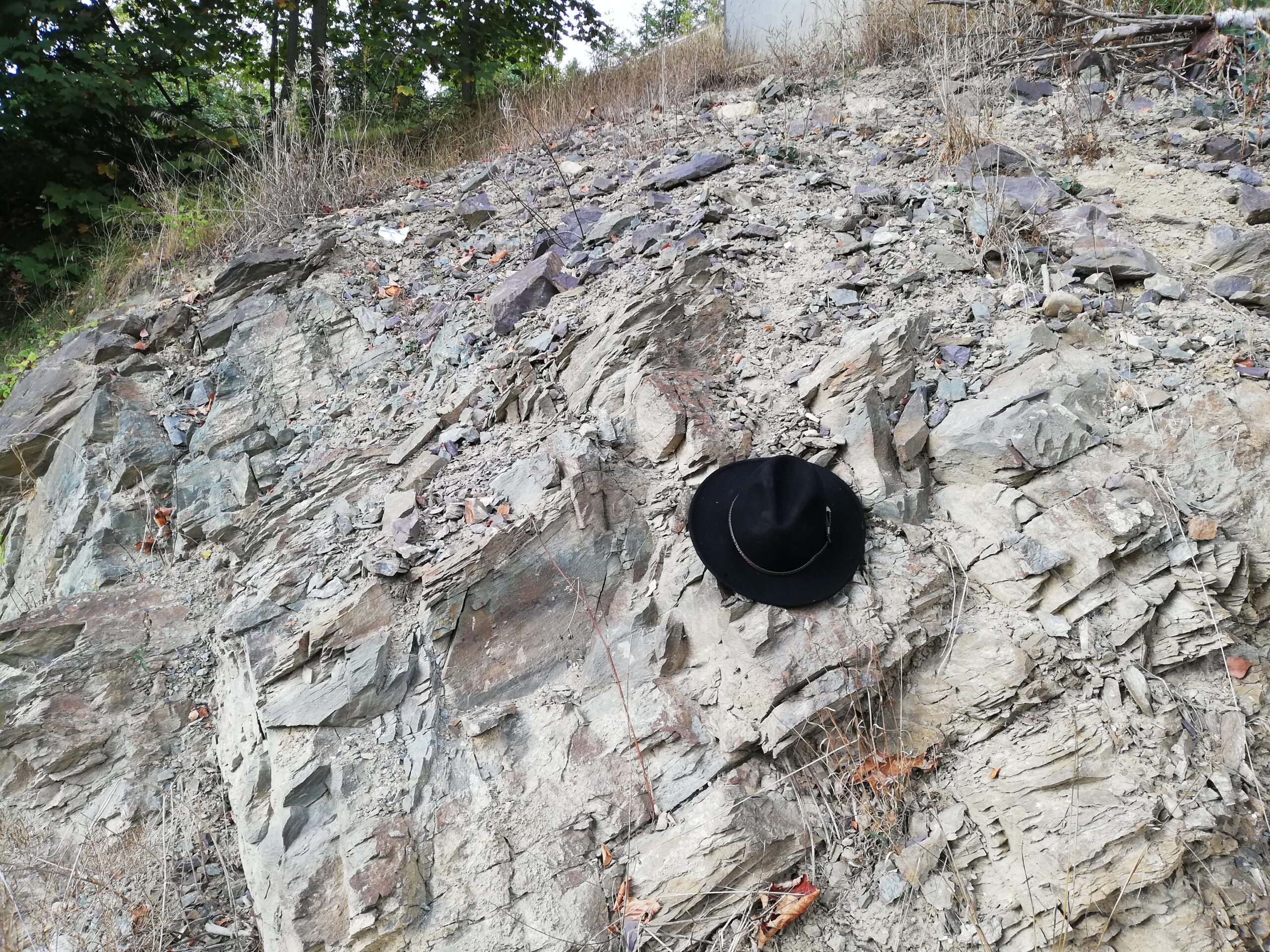
- Geological-geotechnical mapping
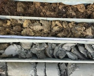
- Subsurface exploration (test pits, core drilling, driving tests, geophysical surveys, if necessary)
Target:
- Development of a geological/geotechnical model as a basis for further geotechnical work.
Sound knowledge of the geological and hydrogeological conditions represents an essential component for the geotechnical processing of projects. They form the basis for the assessment of the subsurface situation and the subsequent geotechnical solution finding.
The geologists working in our office have extensive regional geological knowledge due to their many years of experience and the large number of projects they have worked on. We also work on projects in a wide variety of geological settings (from unconsolidated soils to solid rocks).
Therefore, we are able to develop a geotechnical investigation tailored to the respective geotechnical problem (starting with the recording of the geomorphological conditions and the geological conditions in the field up to subsurface exploration programs [test pits, core drillings, driving tests, etc.]) and, if necessary, to adapt or optimize the scope of the investigation on the basis of the knowledge continuously gained in the course of the working process.
Thanks to the interdisciplinary know-how, the results of the geological findings – even in the case of complex geological conditions – are evaluated and summarized in a technically expedient manner for further geotechnical processing.